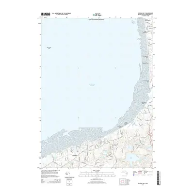
2015 Map of Orleans OE W
USGS Topo · Published 2015About this map
Brewster anchors this coastal landscape, where the terrestrial terrain of Cape Cod meets the Atlantic Ocean. The shoreline is defined by a succession of public landings and sandy stretches, including Sunken Meadow Beach and First Encounter Beach. Inland, a dense network of kettle ponds illustrates the glacial legacy of the region, ranging from the large Cliff Pond and Flax Pond to the smaller Widger Hole.
Find a feature on this map
101 named features on this map. Tap any name to fly to it.
Don’t see what you’re looking for? This feature index may not catch every label — zoom into the map to look around manually.
Map Details
Editions of this 2015 Orleans OE W Map
This is the sole edition of this map. No revisions or reprints were ever made.
Other maps of this area

1887 · Wellfleet
USGS Topo · 1:62,500

1887 · Yarmouth
USGS Topo · 1:62,500

1888 · Chatham
USGS Topo · 1:62,500

1889 · Yarmouth
USGS Topo · 1:62,500

1889 · Wellfleet
USGS Topo · 1:62,500

1893 · Chatham
USGS Topo · 1:62,500

1893 · Yarmouth
USGS Topo · 1:62,500

1893 · Wellfleet
USGS Topo · 1:62,500

1917 · Chatham
USGS Topo · 1:62,500

1942 · Cape Cod Bay
USGS Topo · 1:125,000