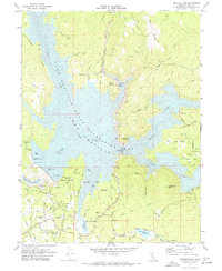
1970 Map of Oroville Dam
USGS Topo · Published 1973About this map
Oroville Dam stands as the central engineering feat in this 1970 landscape, marking a massive transformation of the Middle Fork Feather River and its surrounding canyons. The map documents the creation of the Lake Oroville State Recreation Area, showing the inundation of historic river valleys and the relocation of infrastructure like the Bidwell Bar Bridge. While the newly formed lake dominates the western half, the eastern terrain remains defined by deep ravines and ridges such as Big Ridge Road and Ponderosa Way.
Find a feature on this map
126 named features on this map. Tap any name to fly to it.
Don’t see what you’re looking for? This feature index may not catch every label — zoom into the map to look around manually.
Map Details
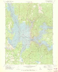
Editions of this 1970 Oroville Dam Map
2 editions found
Other maps of this area

1888 · Marysville
USGS Topo · 1:125,000

1888 · Smartsville
USGS Topo · 1:125,000

1888 · Bidwell Bar
USGS Topo · 1:125,000

1891 · Bidwell Bar
USGS Topo · 1:125,000

1891 · Chico
USGS Topo · 1:125,000

1891 · Marysville
USGS Topo · 1:125,000

1891 · Smartsville
USGS Topo · 1:125,000

1892 · Smartsville
USGS Topo · 1:125,000

1893 · Chico
USGS Topo · 1:125,000

1893 · Bidwell Bar
USGS Topo · 1:125,000