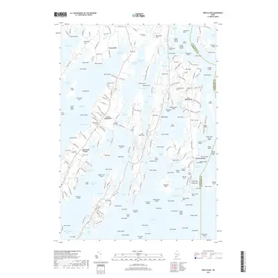
2018 Map of Orrs Island
USGS Topo · Published 2018About this map
Harpswell Neck defines the linear character of this coastal landscape, stretching south between Harpswell Sound and Middle Bay. This mid-coast Maine geography is a complex network of narrow peninsulas and sheltered coves, including Lombos Hole, Quahog Bay, and Dyer Cove. The settlement pattern centers on historic maritime villages like Harpswell Center, Cundys Harbor, and Orrs Island, which remain tied to the shore by long-established routes like Cundys Harbor Rd.
Find a feature on this map
248 named features on this map. Tap any name to fly to it.
Don’t see what you’re looking for? This feature index may not catch every label — zoom into the map to look around manually.
Map Details
Editions of this 2018 Orrs Island Map
This is the sole edition of this map. No revisions or reprints were ever made.
Other maps of this area

1892 · Freeport
USGS Topo · 1:62,500

1893 · Small Point
USGS Topo · 1:62,500

1893 · Casco Bay
USGS Topo · 1:62,500

1894 · Bath
USGS Topo · 1:62,500

1914 · Casco Bay
USGS Topo · 1:48,000

1916 · Casco Bay
USGS Topo · 1:62,500

1916 · Portland And Vicinity
USGS Topo · 1:62,500

1918 · Portland And Vicinity
USGS Topo · 1:62,500

1919 · Small Point
USGS Topo · 1:62,500

1920 · Bath
USGS Topo · 1:62,500