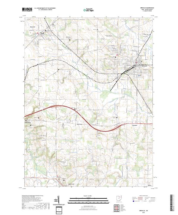
2023 Map of Orrville
USGS Topo · Published 2023About this map
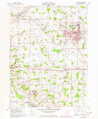
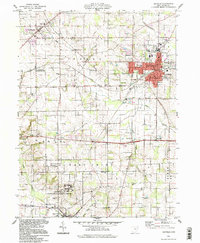
Orrville and Smithville anchor this survey of Wayne County, showing a landscape defined by its agricultural heritage and numerous community burial grounds. The map captures a high density of local history sites, including the Old Presbyterian Cem and Old Lutheran Cem near Smithville, as well as the Oak Grove Mennonite Cem. These locations, alongside several other family and church cemeteries like Paradise Cem and Bodine Cem, provide a clear map of early settlement patterns in this part of Ohio.
Find a feature on this map
141 named features on this map. Tap any name to fly to it.
Don’t see what you’re looking for? This feature index may not catch every label — zoom into the map to look around manually.
Map Details
Editions of this 2023 Orrville Map
This is the sole edition of this map. No revisions or reprints were ever made.