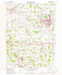
1961 Map of Orrville
USGS Topo · Published 1978About this map
Orrville serves as the industrial and residential anchor of this Wayne County landscape, where the Pennsylvania and New York Chicago and St Louis railroads intersect. This 1960s-era documentation, updated in the late 1970s, captures the town's expansion around Orr Park and the specialized infrastructure of the surrounding townships. Notable institutional footprints include the expansive Apple Creek State Hospital to the south and the State Agricultural Experiment Station, reflecting the region's historical role in public service and scientific research.
Find a feature on this map
61 named features on this map. Tap any name to fly to it.
Don’t see what you’re looking for? This feature index may not catch every label — zoom into the map to look around manually.
Map Details
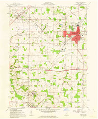
Editions of this 1961 Orrville Map
2 editions found
Other maps of this area

1901 · Massillon
USGS Topo · 1:62,500

1901 · Wooster
USGS Topo · 1:62,500

1903 · Massillon
USGS Topo · 1:62,500

1903 · Wooster
USGS Topo · 1:62,500

1914 · Navarre
USGS Topo · 1:62,500

1915 · Millersburg
USGS Topo · 1:62,500

1943 · Millersburg
USGS Topo · 1:62,500

1944 · Navarre
USGS Topo · 1:62,500

1951 · Canton
USGS Topo · 1:250,000

1953 · Canton
USGS Topo · 1:250,000