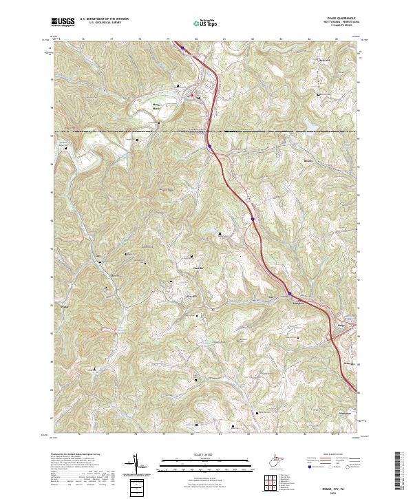
2023 Map of Osage
USGS Topo · Published 2023About this map
Mount Morris sits just above the interstate corridor where West Virginia meets Pennsylvania, anchoring a landscape defined by steep ridges and deep hollows. This area of Monongalia County is dense with small, family-named burial grounds like Abraham Brown Cem, Barrackman Cem, and Snider Cem, offering a detailed record of rural lineage across the hills. The terrain is marked by significant high points such as Sutton Knob and Chisler Knob, while the lower valleys host a string of historic settlements including Cassville, Pursglove, and Osage. The intricate drainage network of Dolls Run and Dents Run dictated the path of local roads like Blue Horizon Dr, which follow the natural contours of the land. These features illustrate the enduring pattern of Appalachian settlement where community life is concentrated along narrow creek bottoms.
Find a feature on this map
138 named features on this map. Tap any name to fly to it.
Don’t see what you’re looking for? This feature index may not catch every label — zoom into the map to look around manually.
Map Details
Editions of this 2023 Osage Map
This is the sole edition of this map. No revisions or reprints were ever made.
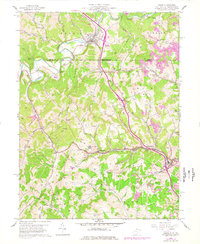
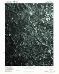
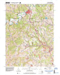
Historical Maps of Osage Through Time
4 maps found