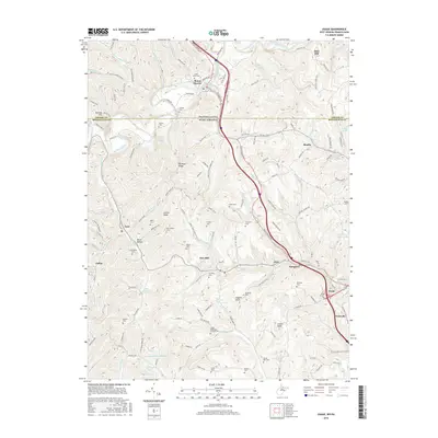
1976 Map of Osage
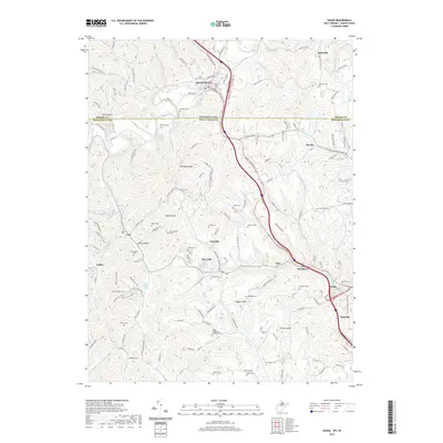
USGS Topo · Published 1979About this map
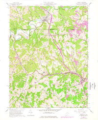
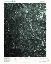
Mount Morris straddles the borderlands of West Virginia and Pennsylvania, anchoring the northern reaches of this mid-1970s orthophotoquad. Produced by the Geological Survey in cooperation with the Soil Conservation Service, this imagery captures the intricate surface patterns of a landscape shaped by both agriculture and industry. The winding course of Dunkard Creek cuts across the northern terrain, while the community of Cassville sits central to the southern portion of the sheet. Toward the southeast, the residential and industrial footprints of Pursglove and Osage are visible, showing the concentration of settlement along the narrow valley floors. This aerial perspective offers an unvarnished look at the coal-country topography, revealing how roads and buildings follow the natural contours of the hills and hollows before further modernization.
Find a feature on this map
5 named features on this map. Tap any name to fly to it.
Don’t see what you’re looking for? This feature index may not catch every label — zoom into the map to look around manually.
Map Details
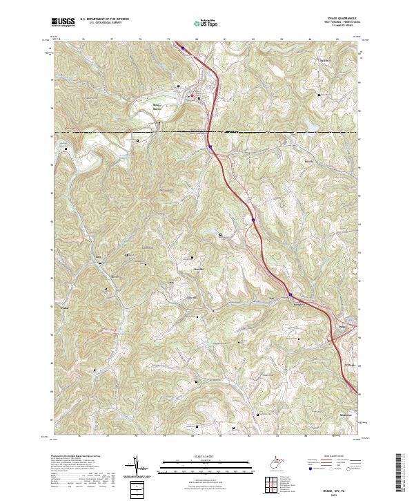
Editions of this 1976 Osage Map
This is the sole edition of this map. No revisions or reprints were ever made.
Historical Maps of Dunkard Township Through Time
8 maps found