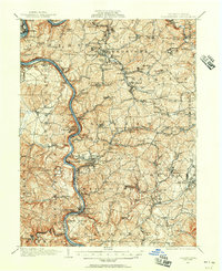
1931 Map of Masontown
USGS Topo · Published 1957About this map
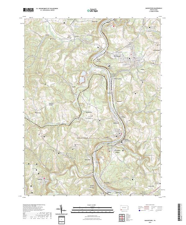
The Monongahela River carves a deep, winding path through this corner of Fayette and Greene Counties, defining a landscape shaped by coal and heavy industry. Surveyed at the close of the 19th century with culture revised in the early 1930s, the map documents the dense industrial infrastructure of the Klondike Coalfield. Numerous numbered mining complexes such as Tower Hill No 1 and Thompson No 2 are connected by a web of Pennsylvania railroad spurs, while the historic National Road traverses the northern section. Settlement patterns show a mix of established river towns like Rices Landing and newer coal patches like Isabella and Crucible. Rural social centers, including the Mennonite Ch and various family-named schools like Baines Sch, highlight the community life existing alongside the massive extractive operations of the era.
Find a feature on this map
176 named features on this map. Tap any name to fly to it.
Don’t see what you’re looking for? This feature index may not catch every label — zoom into the map to look around manually.
Map Details
Editions of this 1931 Masontown Map
This is the sole edition of this map. No revisions or reprints were ever made.
Historical Maps of Luzerne Township Through Time
10 maps found

1900 Masontown
Fayette County, PA
1903 Masontown
Fayette County, PA
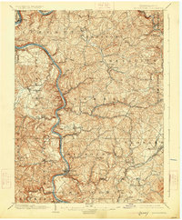
1931 Masontown
Fayette County, PA
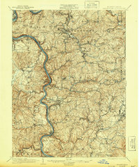
1935 Masontown
Fayette County, PA
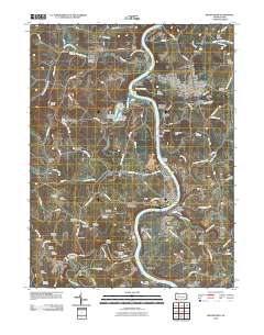
1964 Masontown
Fayette County, PA
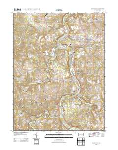
2010 Masontown
Fayette County, PA
2013 Masontown
Fayette County, PA
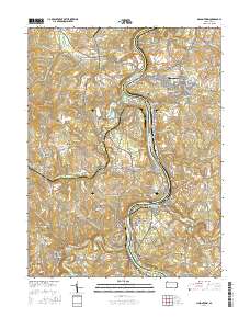
2016 Masontown
Fayette County, PA
2019 Masontown
Fayette County, PA
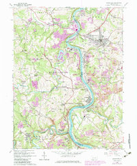
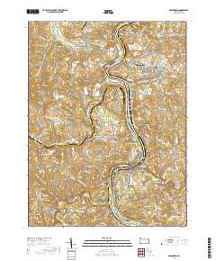
2023 Masontown
Fayette County, PA