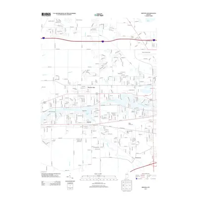
2013 Map of Osceola
USGS Topo · Published 2013About this map
The Saint Joseph River winds through the heart of this landscape, anchoring the community of Osceola. This riverine environment is defined by distinctive landmarks such as Eagle Point and Quail Island, alongside the wide waters of Baugo Bay. The area shows a transition from the established residential streets of Pleasant Valley and Jamestown to a significant aviation infrastructure, featuring Elkhart Municipal Airport, Foos Field Airport, and the Mishawaka Pilots Club Airport.
Find a feature on this map
77 named features on this map. Tap any name to fly to it.
Don’t see what you’re looking for? This feature index may not catch every label — zoom into the map to look around manually.
Map Details
Editions of this 2013 Osceola Map
This is the sole edition of this map. No revisions or reprints were ever made.
Other maps of this area

1945 · Cassopolis
USGS Topo · 1:62,500

1947 · Cassopolis
USGS Topo · 1:62,500

1948 · Vandalia
USGS Topo · 1:62,500

1949 · Vandalia
USGS Topo · 1:62,500

1953 · Fort Wayne
USGS Topo · 1:250,000

1953 · Chicago
USGS Topo · 1:250,000

1956 · Fort Wayne
USGS Topo · 1:250,000

1957 · Chicago
USGS Topo · 1:250,000

1958 · South Bend East
USGS Topo · 1:24,000

1958 · Osceola
USGS Topo · 1:24,000