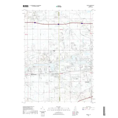
2019 Map of Osceola
USGS Topo · Published 2019About this map
The Saint Joseph River winds through this 2019 survey of the northern Indiana borderlands, anchoring the growing communities of Osceola and Jamestown. This landscape is defined by the transition between suburban expansion and the intricate drainage network of the Michiana region, including Baugo Creek, Cobus Cr, and Eller Ditch. The river provides a focal point for the terrain, featuring the prominent Eagle Point and the wide waters of Baugo Bay.
Find a feature on this map
233 named features on this map. Tap any name to fly to it.
Don’t see what you’re looking for? This feature index may not catch every label — zoom into the map to look around manually.
Map Details
Editions of this 2019 Osceola Map
This is the sole edition of this map. No revisions or reprints were ever made.
Other maps of this area

1945 · Cassopolis
USGS Topo · 1:62,500

1947 · Cassopolis
USGS Topo · 1:62,500

1948 · Vandalia
USGS Topo · 1:62,500

1949 · Vandalia
USGS Topo · 1:62,500

1953 · Fort Wayne
USGS Topo · 1:250,000

1953 · Chicago
USGS Topo · 1:250,000

1956 · Fort Wayne
USGS Topo · 1:250,000

1957 · Chicago
USGS Topo · 1:250,000

1958 · South Bend East
USGS Topo · 1:24,000

1958 · Osceola
USGS Topo · 1:24,000