2024 Map of Oswego
USGS Topo · Published 2024About this map
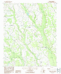
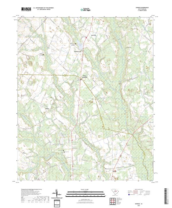
Cowpen Swamp and Mechanicsville Swamp weave through this landscape on the border of Sumter and Lee Counties, defining a region characterized by low-lying wetlands and scattered rural settlements. The map highlights several centers of community life, including Oswego in the south and Ashwood near the northern boundary. Numerous historic congregations are documented here, such as the Mechanicsville Church and Hebron Church, often accompanied by family or community graveyards that provide significant data for genealogical research.
Find a feature on this map
107 named features on this map. Tap any name to fly to it.
Don’t see what you’re looking for? This feature index may not catch every label — zoom into the map to look around manually.
Map Details
Editions of this 2024 Oswego Map
This is the sole edition of this map. No revisions or reprints were ever made.