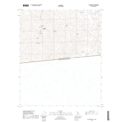
2018 Map of Otay Mountain
USGS Topo · Published 2018About this map
Otay Mtn and the San Ysidro Mountains dominate this borderland terrain, where the international boundary separates the United States and Mexico. The landscape is defined by steep drainage systems such as Little Cedar Canyon, O'Neal Canyon, and Mine Canyon. Human presence is marked by isolated points like Doghouse Junction and the winding Minnewawa Truck Trail, which traverses the high ridges. In the lower elevations to the east, Marron Valley sits near the confluence of Cottonwood Cr and Tecate Cr, where they join the Tijuana River as it flows along the border. Scattered water sources including Donohoe Spring, Echo Spring, and Lupe Spring are vital markers in this arid environment, highlighting the challenging topography that historically dictated movement through these canyons.
Find a feature on this map
25 named features on this map. Tap any name to fly to it.
Don’t see what you’re looking for? This feature index may not catch every label — zoom into the map to look around manually.
Map Details
Editions of this 2018 Otay Mountain Map
This is the sole edition of this map. No revisions or reprints were ever made.
Other maps of this area
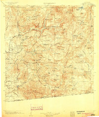
1903 · Cuyamaca
USGS Topo · 1:125,000
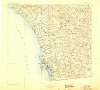
1904 · Southern California Sheet No. 2
USGS Topo · 1:250,000
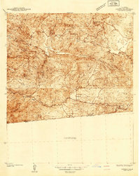
1942 · Potrero
USGS Topo · 1:48,000
1943 · Jamul
USGS Topo · 1:62,500
1944 · Potrero
USGS Topo · 1:62,500
1950 · San Diego
USGS Topo · 1:250,000
1954 · San Diego
USGS Topo · 1:250,000
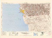
1955 · San Diego
USGS Topo · 1:250,000
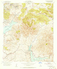
1955 · Jamul Mountains
USGS Topo · 1:24,000
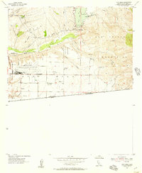
1955 · Otay Mesa
USGS Topo · 1:24,000