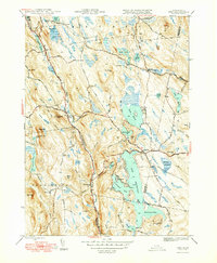
1948 Map of Otis
USGS Topo · Published 1948About this map
The Otis Reservoir dominates this 1948 landscape, featuring complex shorelines including Southwest Bay, Southeast Bay, and the narrow passage known as The Narrows. This mid-century survey documents a region of Berkshire County defined by its numerous glacial ponds and the drainage of the Farmington River and Westfield River. Local history is preserved in the location of rural infrastructure such as the Beech Plain Sch and various burying grounds like West Center Cem and Norton Cem.
Find a feature on this map
85 named features on this map. Tap any name to fly to it.
Don’t see what you’re looking for? This feature index may not catch every label — zoom into the map to look around manually.
Map Details
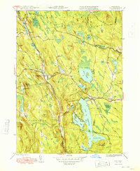
Editions of this 1948 Otis Map
2 editions found
Other maps of this area

1886 · Chesterfield
USGS Topo · 1:62,500

1886 · Becket
USGS Topo · 1:62,500

1887 · Granville
USGS Topo · 1:62,500

1888 · Becket
USGS Topo · 1:62,500

1888 · Sandisfield
USGS Topo · 1:62,500

1888 · Chesterfield
USGS Topo · 1:62,500

1889 · Granville
USGS Topo · 1:62,500

1893 · Granville
USGS Topo · 1:62,500

1893 · Chesterfield
USGS Topo · 1:62,500

1893 · Becket
USGS Topo · 1:62,500