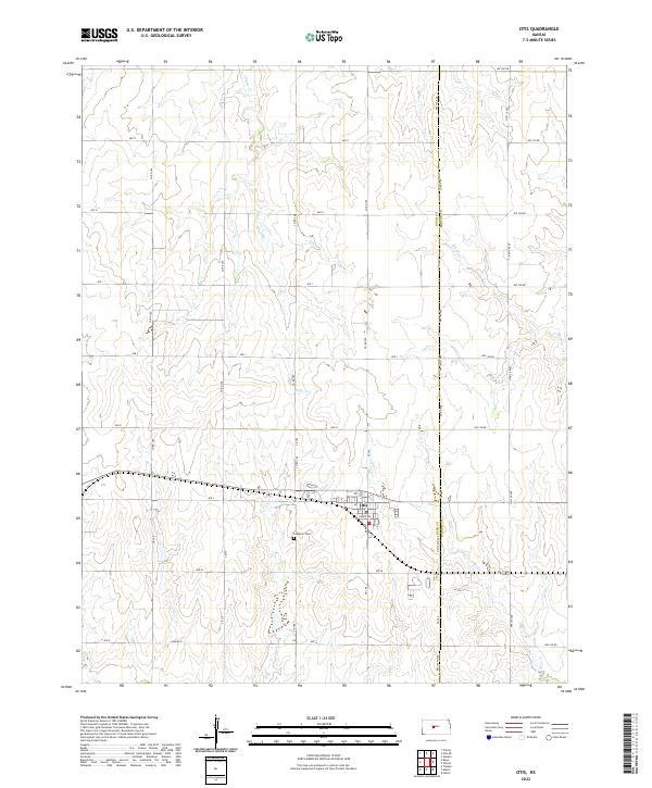
2022 Map of Otis
USGS Topo · Published 2022About this map
Otis serves as the central hub of this Central Kansas landscape, positioned where the border of Rush County and Barton County meets. The town's grid is clearly defined by Main St and Fisher Ave, surrounded by a vast network of section-line roads such as Ave L and Co Rd 390. This map captures the agricultural and community heart of the region, featuring the Lutheran Cem just south of the main settlement. The terrain is defined by the subtle drainage patterns of Eagle Cr, Blood Cr, and Boot Cr, which wind through the plains. The systematic organization of the township and range system is evident in the boundary markers for t17s r16w and its neighbors, illustrating how the land was partitioned for settlement and farming.
Find a feature on this map
40 named features on this map. Tap any name to fly to it.
Don’t see what you’re looking for? This feature index may not catch every label — zoom into the map to look around manually.
Map Details
Editions of this 2022 Otis Map
This is the sole edition of this map. No revisions or reprints were ever made.
Other maps of this area

1889 · Larned
USGS Topo · 1:125,000

1891 · Great Bend
USGS Topo · 1:125,000

1891 · Larned
USGS Topo · 1:125,000

1893 · Great Bend
USGS Topo · 1:125,000

1896 · Russell
USGS Topo · 1:125,000

1896 · Hays
USGS Topo · 1:125,000

1955 · Great Bend
USGS Topo · 1:250,000

1957 · Great Bend
USGS Topo · 1:250,000

1958 · Great Bend
USGS Topo · 1:250,000
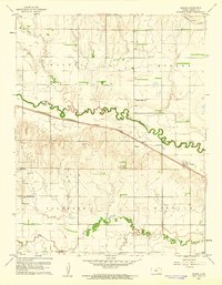
1960 · Heizer
USGS Topo · 1:24,000