Loading...
Loading map...2024 Map of Otterville
USGS Topo · Published 2024About this map
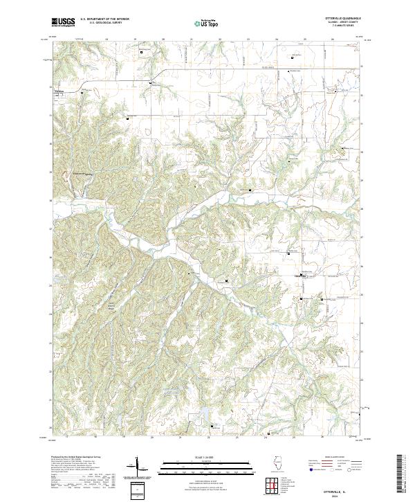
Otterville and Fieldon anchor this topographical study of Jersey County, where the landscape is defined by a dense network of hollows and ridges. The terrain is intricately carved by Bear Hollow, Sugar Hollow, and Shiloh Hollow, which drain toward the larger valleys, leaving behind prominent features like Goat Ranch Ridge. This 2024 edition highlights a remarkable concentration of family and community burial grounds, essential for genealogical research in this part of Illinois.
Find a feature on this map
62 named features on this map. Tap any name to fly to it.
Don’t see what you’re looking for? This feature index may not catch every label — zoom into the map to look around manually.
Map Details
Date Portrayed2024
Date Published2024
PublisherU.S. Geological Survey
Map TypeTopographic
Scale1:24000
Physical Dimensions24 x 29 inches
Editions of this 2024 Otterville Map
This is the sole edition of this map. No revisions or reprints were ever made.
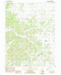
Historical Maps of Otterville Through Time
Featured Locations
Source Details
SourceU.S. Geological Survey
CopyrightPublic Domain