2023 Map of Ottoville
USGS Topo · Published 2023About this map
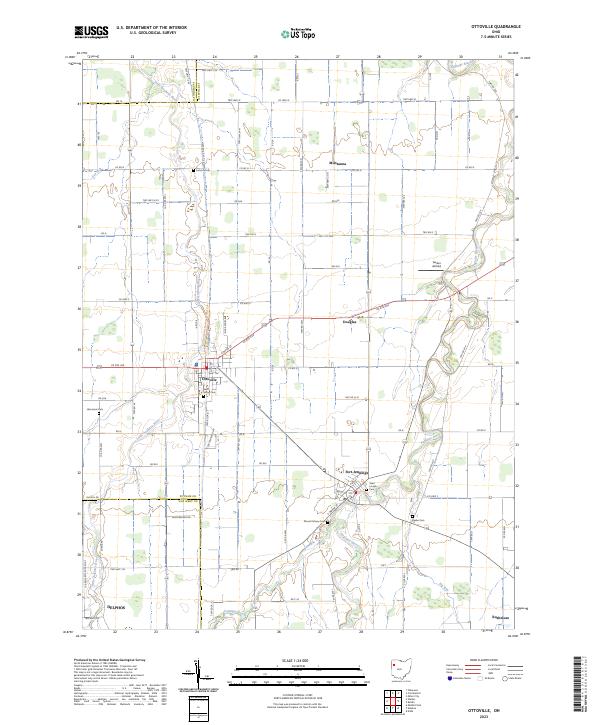
The Auglaize River and Little Auglaize River converge in this corner of Northwest Ohio, defining a landscape of traditional agrarian gridwork and riverside settlements. Ottoville serves as a central hub, where the North Country National Scenic Tr follows the local road network through town. To the southeast, Fort Jennings sits along the riverbank, marked by local landmarks like Saint Joseph Cem and Mount Calvary Cem. The transition from Paulding to Putnam and Van Wert counties is visible through the shifting township and range lines. Small hamlets and rural junctions like Muntanna, Douglas, and Rushmore are scattered throughout the agricultural tracts, while Gerker Airfield provides a point of interest for aviation history. The map also records numerous family-linked sites such as Raabe Cem and Hammons Cem, offering significant detail for local genealogical research.
Find a feature on this map
63 named features on this map. Tap any name to fly to it.
Don’t see what you’re looking for? This feature index may not catch every label — zoom into the map to look around manually.
Map Details
Editions of this 2023 Ottoville Map
This is the sole edition of this map. No revisions or reprints were ever made.
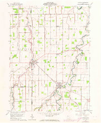
Historical Maps of Paulding County Through Time
Featured Locations
- Jennings Township, OH
- Jackson Township, OH
- Fort Jennings, Jennings Township
- Douglas, Jackson Township
- Ottoville, Montery Township