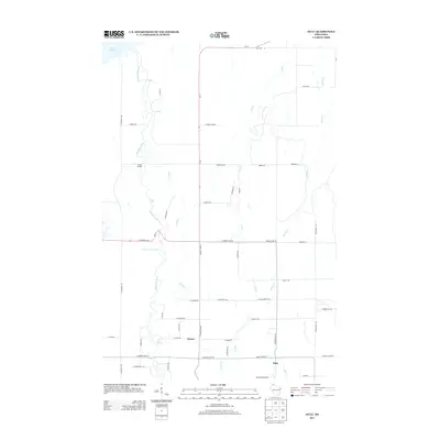
2013 Map of Oulu
USGS Topo · Published 2013About this map
The Bois Brule River snakes northward through Douglas County toward its outlet at Lake Superior, defining the drainage of this coastal Wisconsin landscape. The river is notable for its numerous named water features and navigational hazards, including Weir Riffles, Long Riffles, Shale Falls, and the Highway Thirteen Rapids. These natural landmarks sit alongside McNeil Landing, hinting at the river's historical importance for transit and access to the northern shore.
Find a feature on this map
57 named features on this map. Tap any name to fly to it.
Don’t see what you’re looking for? This feature index may not catch every label — zoom into the map to look around manually.
Map Details
Editions of this 2013 Oulu Map
This is the sole edition of this map. No revisions or reprints were ever made.
Other maps of this area

1943 · Port Wing
USGS Topo · 1:48,000

1943 · Iron Lake
USGS Topo · 1:48,000

1946 · Port Wing
USGS Topo · 1:48,000

1947 · Brule
USGS Topo · 1:48,000

1947 · Iron Lake
USGS Topo · 1:48,000

1953 · Ashland
USGS Topo · 1:250,000

1954 · Lake Nebagamon
USGS Topo · 1:24,000

1954 · Cloverland
USGS Topo · 1:24,000

1958 · Ashland
USGS Topo · 1:250,000

1961 · Iron Lake SW
USGS Topo · 1:24,000