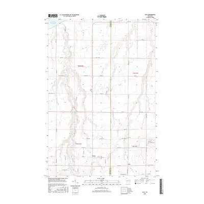
2015 Map of Oulu
USGS Topo · Published 2015About this map
The Bois Brule River snakes northward through the heart of this landscape, its path marked by distinctive natural features such as Shale Falls, May Ledges, and the Highway Thirteen Rapids. This 2015 data reflects a rural topography defined by a tight grid of family-named roads, spanning the border between Douglas and Bayfield counties. Settlements like Waino and Oulu serve as central points for a community established by northern European immigrants, evidenced by the high concentration of local cemeteries including Oulu Cem and Ever Rest Cem. The terrain reveals a transition from the highlands down toward the Lake Superior shoreline, with numerous small tributaries like Fish Cr and Trask Cr cutting through the glacial soils. The presence of Copper Hill Rd hints at the region's mineral interests, while the dense network of lanes like Tikkanen Rd and Leppela Rd provides a detailed look at contemporary land ownership patterns.
Find a feature on this map
66 named features on this map. Tap any name to fly to it.
Don’t see what you’re looking for? This feature index may not catch every label — zoom into the map to look around manually.
Map Details
Editions of this 2015 Oulu Map
This is the sole edition of this map. No revisions or reprints were ever made.
Other maps of this area

1943 · Port Wing
USGS Topo · 1:48,000

1943 · Iron Lake
USGS Topo · 1:48,000

1946 · Port Wing
USGS Topo · 1:48,000

1947 · Brule
USGS Topo · 1:48,000

1947 · Iron Lake
USGS Topo · 1:48,000

1953 · Ashland
USGS Topo · 1:250,000

1954 · Lake Nebagamon
USGS Topo · 1:24,000

1954 · Cloverland
USGS Topo · 1:24,000

1958 · Ashland
USGS Topo · 1:250,000

1961 · Iron Lake SW
USGS Topo · 1:24,000