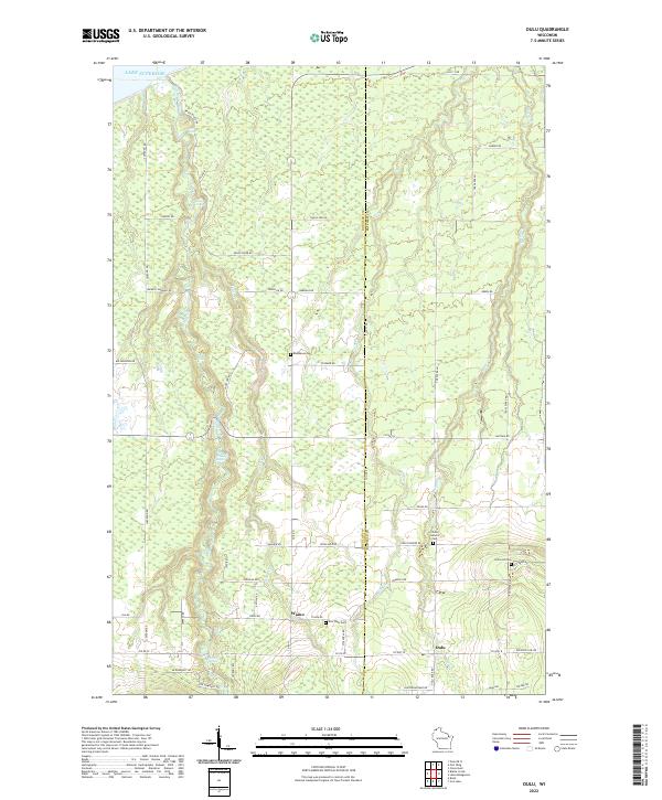
2022 Map of Oulu
USGS Topo · Published 2022About this map
The Bois Brule River cuts a prominent north-south course toward Lake Superior, defining the topography of this corner of Douglas County. The landscape is characterized by its complex river features, including Highway Thirteen Rapids, Shale Falls, and Lenroot Ledges, which emphasize the dramatic descent of the waterway as it nears the coast. Settled areas like Waino and Oulu are connected by a network of rural roads often named for local families, such as Tikkanen Rd, Pudas Rd, and Antilla Rd.
Find a feature on this map
65 named features on this map. Tap any name to fly to it.
Don’t see what you’re looking for? This feature index may not catch every label — zoom into the map to look around manually.
Map Details
Editions of this 2022 Oulu Map
This is the sole edition of this map. No revisions or reprints were ever made.
Other maps of this area

1943 · Port Wing
USGS Topo · 1:48,000

1943 · Iron Lake
USGS Topo · 1:48,000

1946 · Port Wing
USGS Topo · 1:48,000

1947 · Brule
USGS Topo · 1:48,000

1947 · Iron Lake
USGS Topo · 1:48,000

1953 · Ashland
USGS Topo · 1:250,000

1954 · Lake Nebagamon
USGS Topo · 1:24,000

1954 · Cloverland
USGS Topo · 1:24,000

1958 · Ashland
USGS Topo · 1:250,000

1961 · Iron Lake SW
USGS Topo · 1:24,000