Loading...
Loading map...2023 Map of Ouray
USGS Topo · Published 2023About this map
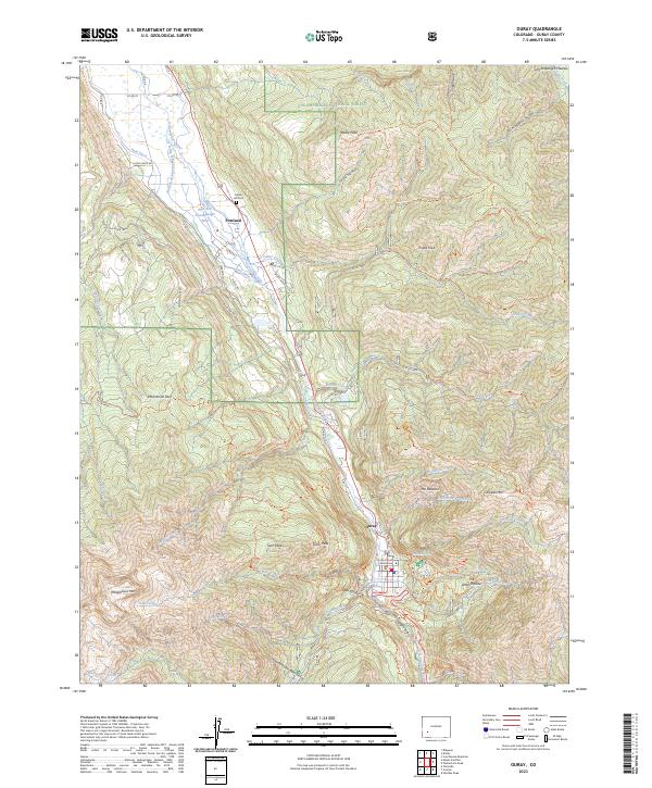
Ouray sits at the heart of this high-altitude landscape, where the Uncompahgre River carves through the dramatic Uncompahgre Gorge. The 2023 survey details the town's seat of local government at the Ouray County Courthouse and its historic burial grounds at Cedar Hill Cem near the northern settlement of Portland. The surrounding terrain is defined by extreme verticality, featuring landmarks like The Amphitheater and The Blowout that overlook the valley floor.
Find a feature on this map
78 named features on this map. Tap any name to fly to it.
Don’t see what you’re looking for? This feature index may not catch every label — zoom into the map to look around manually.
Map Details
Date Portrayed2023
Date Published2023
PublisherU.S. Geological Survey
Map TypeTopographic
Scale1:24000
Physical Dimensions24 x 29 inches
Editions of this 2023 Ouray Map
This is the sole edition of this map. No revisions or reprints were ever made.
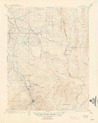
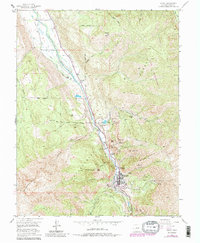
Historical Maps of Ouray Through Time
4 maps found

Featured Locations
Source Details
SourceU.S. Geological Survey
CopyrightPublic Domain