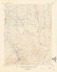
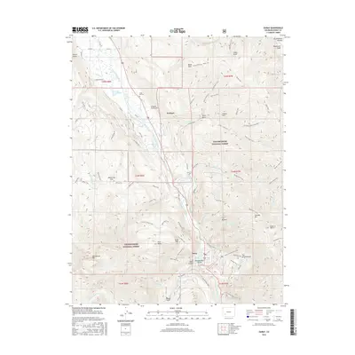
1902 Map of Ouray
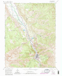
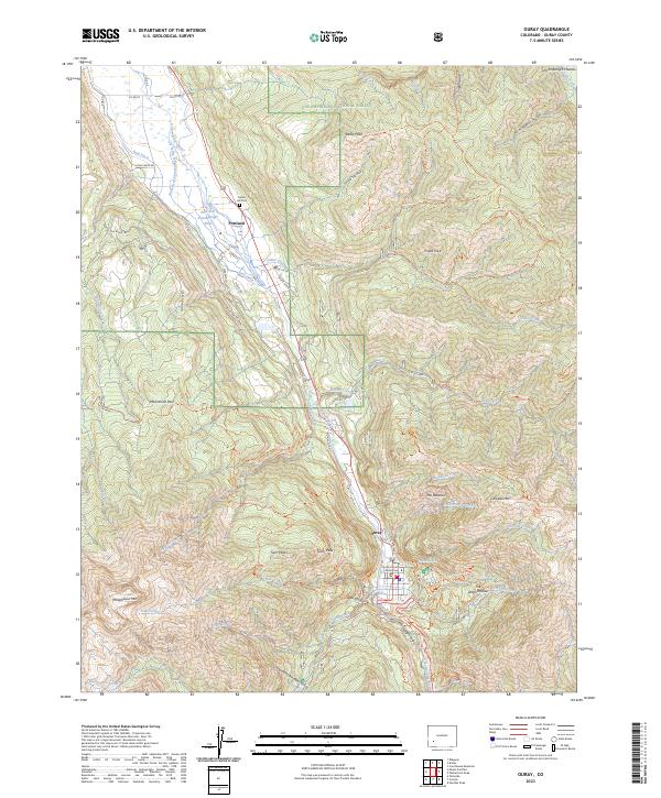
USGS Topo · Published 1963About this map
The town of Ouray sits at the head of the Uncompahgre River valley, serving as a mountain hub during this 1901-1902 survey. The local economy and transport are defined by the Denver and Rio Grande R. R., which follows the river northward past settlements like Bachelor Switch, Portland, and Hot Springs toward Dallas. This era is marked by the complex relationship between mining-era infrastructure and the high-altitude terrain, where industrial rail lines terminate at the edge of the Uncompahgre National Forest.
Find a feature on this map
60 named features on this map. Tap any name to fly to it.
Don’t see what you’re looking for? This feature index may not catch every label — zoom into the map to look around manually.
Map Details
Editions of this 1902 Ouray Map
This is the sole edition of this map. No revisions or reprints were ever made.
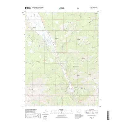
Historical Maps of Ouray Through Time
8 maps found