
1902 Map of Silverton
USGS Topo · Published 1902About this map
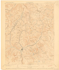
Silverton serves as the central hub for this high-altitude mining region, where the Animas River meets the confluence of several steep mountain gulches. At the turn of the century, the landscape is defined by an intricate network of narrow-gauge rail lines, including the Silverton Northern R.R. and the Denver and Rio Grande R.R., which thread through narrow canyons to reach remote camps and processing sites. High-elevation settlements like Animas Forks, Eureka, and Gladstone are linked by these rails and precarious routes over Cinnamon Pass. The map reveals the intense industrial footprint of the era, from the Sunnyside Mill to the numerous basins such as Arastra Basin and Spencer Basin where mineral extraction was in full swing. This survey captures a specific moment in Colorado history when these isolated mountain outposts were essential nodes in a booming silver and gold economy.
Find a feature on this map
179 named features on this map. Tap any name to fly to it.
Don’t see what you’re looking for? This feature index may not catch every label — zoom into the map to look around manually.
Map Details
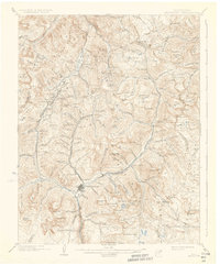
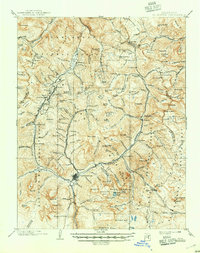
Editions of this 1902 Silverton Map
4 editions found
Other maps of this area

1897 · Telluride
USGS Topo · 1:62,500

1897 · Silverton
USGS Topo · 1:62,500

1898 · Engineer Mountain
USGS Topo · 1:62,500

1900 · Engineer Mountain
USGS Topo · 1:62,500

1900 · Needle Mountains
USGS Topo · 1:62,500

1901 · Silverton
USGS Topo · 1:62,500

1902 · Needle Mountains
USGS Topo · 1:62,500

1902 · Ouray
USGS Topo · 1:62,500

1903 · Lake City
USGS Topo · 1:62,500

1904 · Ouray
USGS Topo · 1:62,500