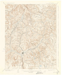
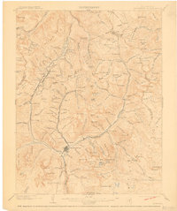
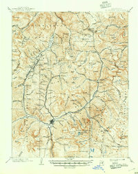
1902 Map of Silverton
USGS Topo · Published 1934About this map
Silverton serves as the industrial and transport hub of this high-altitude mining landscape, where two specialized mountain railroads radiate into steep glacial basins. The Silverton R.R. climbs toward the northwest, passing Chattanooga on its way to the mining camps of Ironton, while the Silverton Northern R.R. follows the Animas River valley through Howardsville, Middleton, and Eureka to reach Animas Forks. This network reflects a late-nineteenth-century mining boom that established permanent settlements in extreme alpine environments like Gladstone and the Ironton Park area.
Find a feature on this map
159 named features on this map. Tap any name to fly to it.
Don’t see what you’re looking for? This feature index may not catch every label — zoom into the map to look around manually.
Map Details
Editions of this 1902 Silverton Map
4 editions found
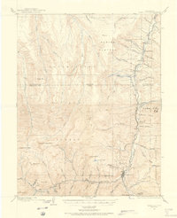
Other maps of this area

1897 · Telluride
USGS Topo · 1:62,500

1897 · Silverton
USGS Topo · 1:62,500

1898 · Engineer Mountain
USGS Topo · 1:62,500

1900 · Engineer Mountain
USGS Topo · 1:62,500

1900 · Needle Mountains
USGS Topo · 1:62,500

1901 · Silverton
USGS Topo · 1:62,500

1902 · Needle Mountains
USGS Topo · 1:62,500

1902 · Silverton
USGS Topo · 1:62,500

1902 · Ouray
USGS Topo · 1:62,500
1903 · Lake City
USGS Topo · 1:62,500