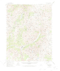
1955 Map of Silverton
USGS Topo · Published 1970About this map
The high alpine mining district surrounding Silverton is documented here during the mid-1950s, a period when the region's industrial legacy remained deeply etched into the San Juan Mountains. The Denver and Rio Grande Western Railroad terminates at the town, providing a vital link for the output of world-class operations like the Camp Bird Mine and the Sunnyside Mine. The landscape is a network of steep gulches and high peaks, where settlements such as Eureka, Animas Forks, and Howardsville reflect the intense 19th-century silver and gold rush activity.
Find a feature on this map
165 named features on this map. Tap any name to fly to it.
Don’t see what you’re looking for? This feature index may not catch every label — zoom into the map to look around manually.
Map Details
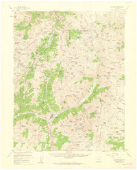
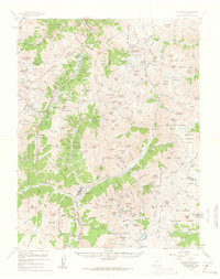
Editions of this 1955 Silverton Map
3 editions found
Other maps of this area

1897 · Telluride
USGS Topo · 1:62,500

1897 · Silverton
USGS Topo · 1:62,500

1898 · Engineer Mountain
USGS Topo · 1:62,500

1900 · Engineer Mountain
USGS Topo · 1:62,500

1900 · Needle Mountains
USGS Topo · 1:62,500

1901 · Silverton
USGS Topo · 1:62,500

1902 · Needle Mountains
USGS Topo · 1:62,500

1902 · Silverton
USGS Topo · 1:62,500

1902 · Ouray
USGS Topo · 1:62,500

1903 · Lake City
USGS Topo · 1:62,500