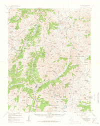
1955 Map of Silverton
USGS Topo · Published 1962About this map
Silverton stands as the primary hub of this high-altitude landscape, where the confluence of Cement Creek and the Animas River dictated early settlement patterns. By the mid-1950s, the region was defined by a dense network of extraction sites and high-mountain trails, including the Million Dollar Highway (U.S. Highway 550) carving through the terrain near Ironton. The map documents a mature mining district with iconic locations like the Camp Bird complex and Sunnyside Mine alongside smaller operations such as the Buffalo Boy Mine and Kitty Mack Mine. The presence of the Denver and Rio Grande Western Railroad reaching into the valley floor highlights the industrial necessity of transport for ore from the Mayflower Mill. Beyond the town sites of Eureka and Howardsville, the map details a landscape of extreme verticality, marked by the Continental Divide and numerous named summits including Sultan Mountain and Kendall Peak.
Find a feature on this map
186 named features on this map. Tap any name to fly to it.
Don’t see what you’re looking for? This feature index may not catch every label — zoom into the map to look around manually.
Map Details
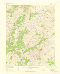
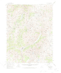
Editions of this 1955 Silverton Map
3 editions found
Other maps of this area

1897 · Telluride
USGS Topo · 1:62,500

1897 · Silverton
USGS Topo · 1:62,500

1898 · Engineer Mountain
USGS Topo · 1:62,500

1900 · Engineer Mountain
USGS Topo · 1:62,500

1900 · Needle Mountains
USGS Topo · 1:62,500

1901 · Silverton
USGS Topo · 1:62,500

1902 · Needle Mountains
USGS Topo · 1:62,500

1902 · Silverton
USGS Topo · 1:62,500

1902 · Ouray
USGS Topo · 1:62,500

1903 · Lake City
USGS Topo · 1:62,500