
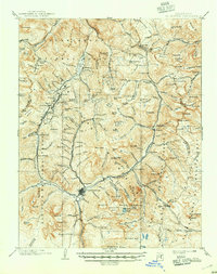
1901 Map of Silverton
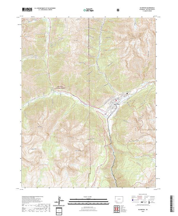
USGS Topo · Published 1957About this map
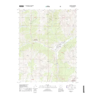
The town of Silverton serves as the industrial and logistical heart of the San Juan Mountains in this turn-of-the-century survey. Three distinct rail lines, including the Silverton R. R. and the Silverton Northern R. R., fan out from the town to serve a landscape of high-altitude mining settlements. Notable camps and supply points like Animas Forks, Howardsville, and Guston are connected by these narrow-gauge routes, tracing the steep drainages of the Animas River and Mineral Creek. High peaks such as Sultan Mt. and Grand Turk overlook a network of basins and gulches that defined the region's mineral wealth. The presence of the Uncompahgre National Forest and other forest reserves underscores the transition from a purely extractive economy to managed public lands. Tracing these rail beds and vanished post offices offers a window into the peak era of Colorado silver mining before the eventual decline of these remote mountain outposts.
Find a feature on this map
71 named features on this map. Tap any name to fly to it.
Don’t see what you’re looking for? This feature index may not catch every label — zoom into the map to look around manually.
Map Details
Editions of this 1901 Silverton Map
This is the sole edition of this map. No revisions or reprints were ever made.
Historical Maps of Silverton Through Time
11 maps found

1897 Silverton
San Juan County, CO
1901 Silverton
San Juan County, CO
1902 Silverton
San Juan County, CO
1955 Silverton
San Juan County, CO
1955 Silverton
San Juan County, CO
1982 Silverton
San Juan County, CO
2011 Silverton
San Juan County, CO
2013 Silverton
San Juan County, CO
2016 Silverton
San Juan County, CO
2019 Silverton
San Juan County, CO
2022 Silverton
San Juan County, CO