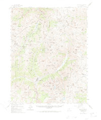
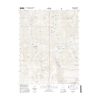
1982 Map of Silverton
USGS Topo · Published 1992About this map
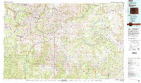
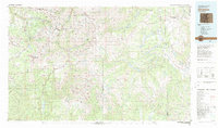
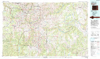
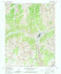
Silverton and Telluride anchor this high-altitude survey of the San Juan Mountains, recorded in the early 1980s as the region's mining heritage and natural landscape converged. The map meticulously documents a history of extraction, featuring legendary sites like the Sunnyside Mine, Camp Bird Mine, and Old Hundred Mine. These industrial nodes are connected by the winding route of the Denver and Rio Grande Western Railroad, which snakes through the steep terrain to reach Tacoma and the upper reaches of Mineral Creek.
Find a feature on this map
119 named features on this map. Tap any name to fly to it.
Don’t see what you’re looking for? This feature index may not catch every label — zoom into the map to look around manually.
Map Details
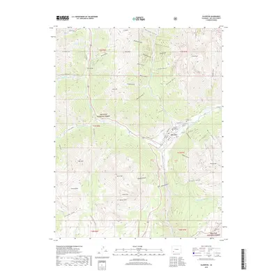
Editions of this 1982 Silverton Map
3 editions found
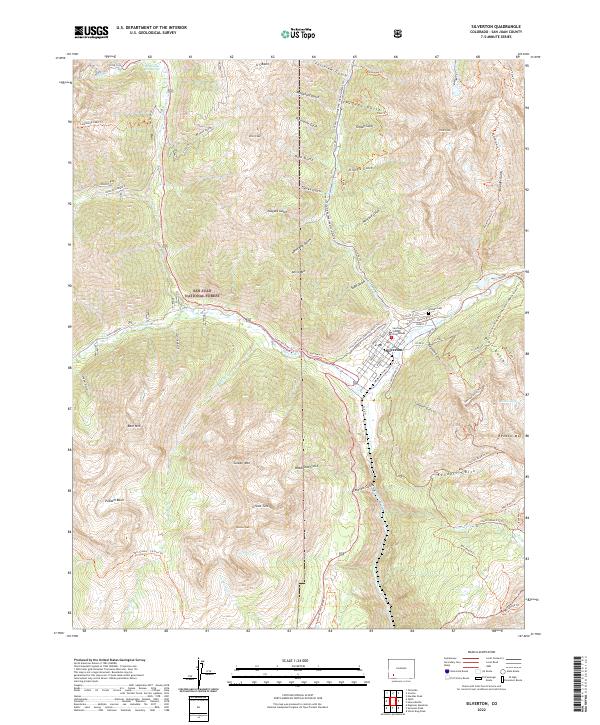
Historical Maps of Telluride Through Time
11 maps found

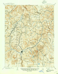
1897 Silverton
San Juan County, CO

1901 Silverton
San Juan County, CO
1902 Silverton
San Juan County, CO
1955 Silverton
San Juan County, CO
1955 Silverton
San Juan County, CO
1982 Silverton
San Juan County, CO
2011 Silverton
San Juan County, CO
2013 Silverton
San Juan County, CO
2016 Silverton
San Juan County, CO
2019 Silverton
San Juan County, CO
2022 Silverton
San Juan County, CO