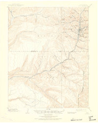
1898 Map of Rico
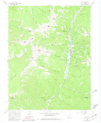
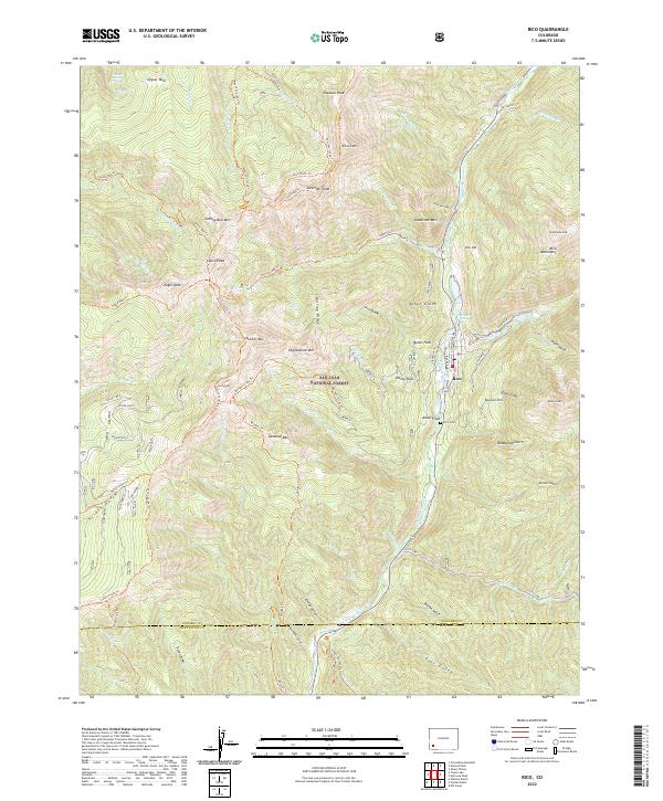
USGS Topo · Published 1957About this map
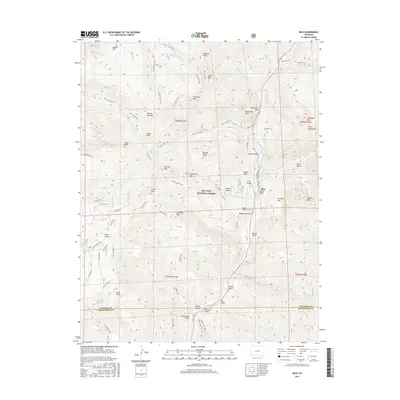
Rico sits at the heart of this high-altitude landscape, appearing as a concentrated hub of mining and transit during a period of significant regional development. The Rio Grande Southern railroad snakes along the valley floor, connecting the town to remote outposts and emphasizing the era's reliance on rail for mineral transport and supplies. The surrounding terrain is defined by a dense network of family-held properties and operations, including Roger's Ranch, Snyder's Ranch, and Robinson's Ranch, which dot the drainages of the West Dolores River and its tributaries.
Find a feature on this map
54 named features on this map. Tap any name to fly to it.
Don’t see what you’re looking for? This feature index may not catch every label — zoom into the map to look around manually.
Map Details
Editions of this 1898 Rico Map
This is the sole edition of this map. No revisions or reprints were ever made.
Historical Maps of Rico Through Time
9 maps found