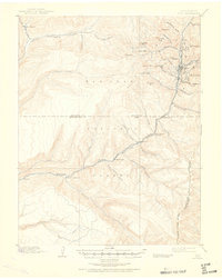
1897 Map of Rico
USGS Topo · Published 1897About this map
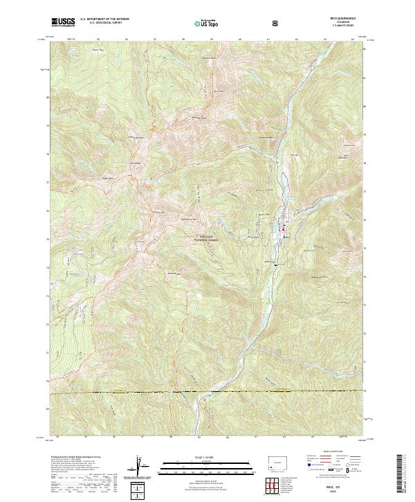
The silver mining center of Rico sits at the high-altitude heart of the San Juan Mountains in the late 1890s, serving as the primary hub for this remote corner of Dolores County. The Rio Grande Southern R. R. snakes through the canyon alongside the South Fork Rio Grande Dolores River, providing a vital lifeline for the extraction economy. This survey captures the region just after the railroad reached the area, a period when isolated outposts like Montelores and Rio Lado were active stops along the line.
Find a feature on this map
51 named features on this map. Tap any name to fly to it.
Don’t see what you’re looking for? This feature index may not catch every label — zoom into the map to look around manually.
Map Details
Editions of this 1897 Rico Map
This is the sole edition of this map. No revisions or reprints were ever made.
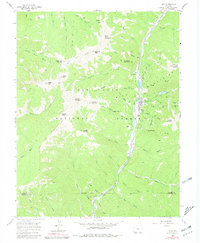
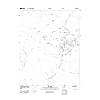
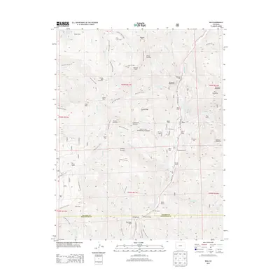
Historical Maps of Rico Through Time
9 maps found