
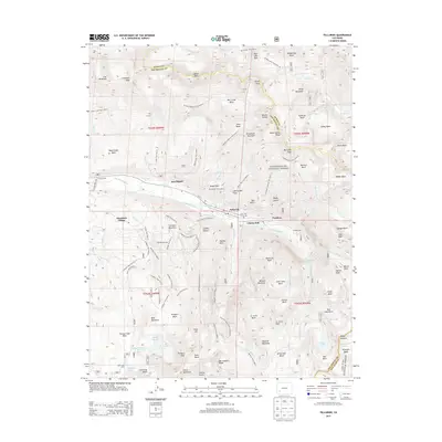
1904 Map of Telluride
USGS Topo · Published 1904About this map
High-altitude silver and gold mining dominates this 1904 survey of the San Juan Mountains, centered on the bustling industrial hub of Telluride and the nearby milling center of Pandora. The landscape is a dense network of extraction, with legendary operations like the Smuggler Mine, Sheridan Mine, and Virginius Mine clinging to the steep basins above the San Miguel River. This era represents the peak of the region's vertical economy, where heavy machinery and ore were moved via the Rio Grande Southern R.R. through critical transit points like Vance Junction and Ophir Sta.
Find a feature on this map
164 named features on this map. Tap any name to fly to it.
Don’t see what you’re looking for? This feature index may not catch every label — zoom into the map to look around manually.
Map Details
Editions of this 1904 Telluride Map
2 editions found
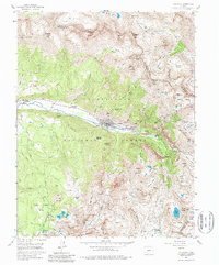
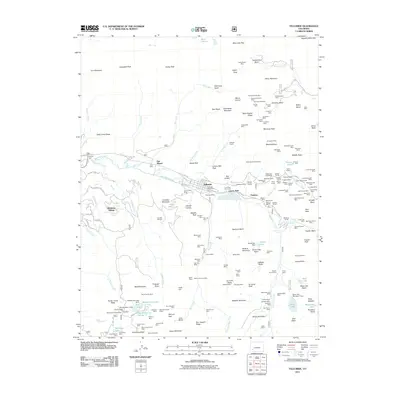
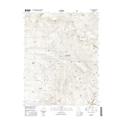
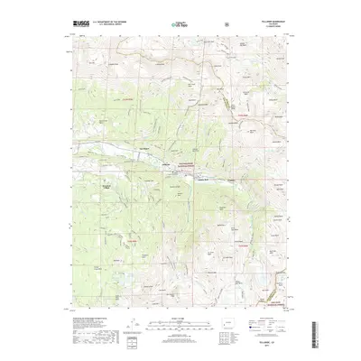
Historical Maps of Telluride Through Time
9 maps found

1897 Telluride
San Miguel County, CO
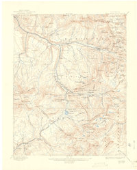
1904 Telluride
San Miguel County, CO
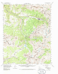
1955 Telluride
San Miguel County, CO
1955 Telluride
San Miguel County, CO
2011 Telluride
San Miguel County, CO
2013 Telluride
San Miguel County, CO
2016 Telluride
San Miguel County, CO
2019 Telluride
San Miguel County, CO
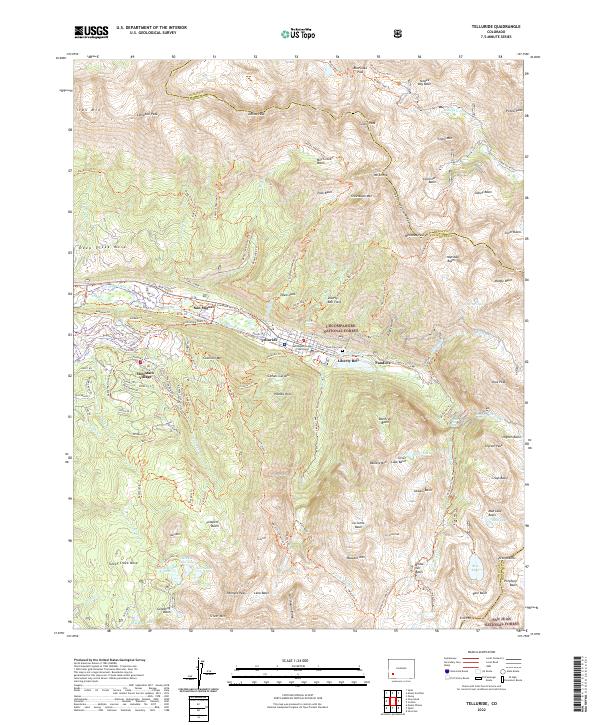
2022 Telluride
San Miguel County, CO