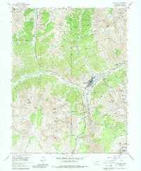
1955 Map of Silverton
USGS Topo · Published 1984About this map
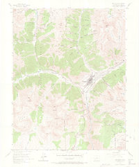
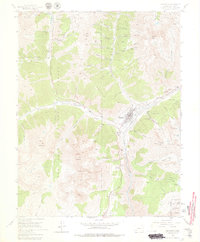
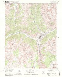
Silverton serves as the industrial and civic anchor of this San Juan County landscape, situated at the confluence of the Animas River and Cement Creek. In the mid-1950s, the town's mining heritage is evident through a dense network of high-altitude operations and transport lines. The Denver and Rio Grande Western railroad parallels the river, providing a critical link for the region's mineral output. Surrounding peaks like Sultan Mountain and Kendall Mountain are scarred with numerous claims, including the North Star Mine and Scranton City Mine. Facilities such as the Mayflower Mill and Lackawanna Mill highlight the processing infrastructure required for the local economy. The presence of the Hillside Cemetery and various mountain trails suggests a community deeply integrated with its steep, challenging environment, while the Airstrip and U.S. Highway 550 represent the evolving transportation needs of the post-war era.
Find a feature on this map
78 named features on this map. Tap any name to fly to it.
Don’t see what you’re looking for? This feature index may not catch every label — zoom into the map to look around manually.
Map Details
Editions of this 1955 Silverton Map
7 editions found
Other maps of this area

1897 · Telluride
USGS Topo · 1:62,500

1897 · Silverton
USGS Topo · 1:62,500

1898 · Engineer Mountain
USGS Topo · 1:62,500

1900 · Engineer Mountain
USGS Topo · 1:62,500

1900 · Needle Mountains
USGS Topo · 1:62,500

1901 · Silverton
USGS Topo · 1:62,500

1902 · Needle Mountains
USGS Topo · 1:62,500

1902 · Silverton
USGS Topo · 1:62,500

1904 · Telluride
USGS Topo · 1:62,500

1908 · Engineer Mountain
USGS Topo · 1:62,500