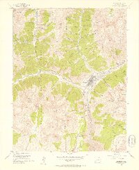
1955 Map of Silverton
USGS Topo · Published 1957About this map
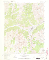
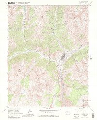
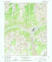
Silverton serves as the central hub of this mid-century topographic survey, where the Denver and Rio Grande Western railroad terminates at the confluence of the Animas River and Cement Creek. The landscape is a dense network of industrial history, dominated by mining operations like the Mayflower Mill, Lackawanna Mine, and Aspen Mine. Beyond the town, the high-altitude environment is defined by towering peaks such as Sultan Mountain, Kendall Mountain, and Anvil Mountain, with steep gulches carving through the San Juan National Forest.
Find a feature on this map
76 named features on this map. Tap any name to fly to it.
Don’t see what you’re looking for? This feature index may not catch every label — zoom into the map to look around manually.
Map Details
Editions of this 1955 Silverton Map
7 editions found
Other maps of this area

1897 · Telluride
USGS Topo · 1:62,500

1897 · Silverton
USGS Topo · 1:62,500

1898 · Engineer Mountain
USGS Topo · 1:62,500

1900 · Engineer Mountain
USGS Topo · 1:62,500

1900 · Needle Mountains
USGS Topo · 1:62,500

1901 · Silverton
USGS Topo · 1:62,500

1902 · Needle Mountains
USGS Topo · 1:62,500

1902 · Silverton
USGS Topo · 1:62,500

1904 · Telluride
USGS Topo · 1:62,500

1908 · Engineer Mountain
USGS Topo · 1:62,500