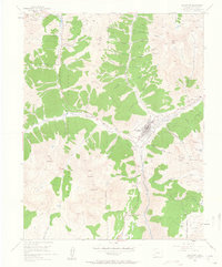
1955 Map of Silverton
USGS Topo · Published 1963About this map
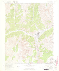
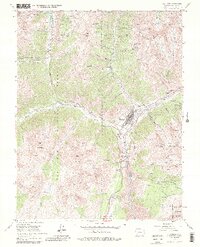
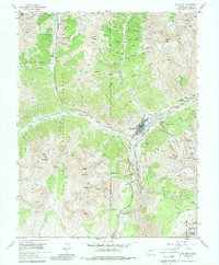
Silverton serves as the hub of this mid-century survey, a mountain landscape dominated by the hard-rock mining industry. Located at the confluence of the Animas River and Mineral Creek, the town is surrounded by dozens of named claims and processing facilities, including the Mayflower Mill and the Brooklyn Mine. High-altitude operations like the Silver Crown Mine and Henrietta Mine cling to the slopes of Anvil Mountain and Sultan Mountain, connected by a network of trails and the storied Million Dollar Highway.
Find a feature on this map
71 named features on this map. Tap any name to fly to it.
Don’t see what you’re looking for? This feature index may not catch every label — zoom into the map to look around manually.
Map Details
Editions of this 1955 Silverton Map
7 editions found
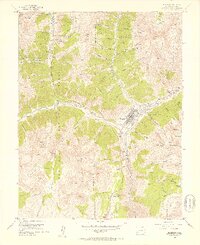
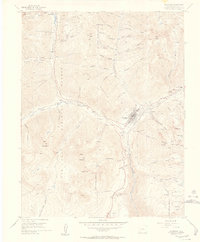
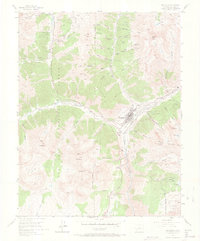
Other maps of this area

1897 · Telluride
USGS Topo · 1:62,500

1897 · Silverton
USGS Topo · 1:62,500

1898 · Engineer Mountain
USGS Topo · 1:62,500

1900 · Engineer Mountain
USGS Topo · 1:62,500

1900 · Needle Mountains
USGS Topo · 1:62,500

1901 · Silverton
USGS Topo · 1:62,500

1902 · Needle Mountains
USGS Topo · 1:62,500

1902 · Silverton
USGS Topo · 1:62,500

1904 · Telluride
USGS Topo · 1:62,500

1908 · Engineer Mountain
USGS Topo · 1:62,500