
1907 Map of San Cristobal
USGS Topo · Published 1907About this map
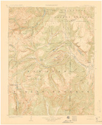
San Juan Mountains dominate this high-altitude landscape where the Continental Divide winds between Hinsdale and Mineral counties. At the time of this 1904-1905 survey, the region was defined by massive forest reserves and remote mining outposts. The settlement of Whitecross and the high-elevation camp at Carson are shown alongside active drainage systems like the Gunnison River and the headwaters of the Rio Grande. The presence of Lakemans Fishponds near Santa Maria Lake suggests the early importance of recreation and resource management in these protected lands.
Find a feature on this map
102 named features on this map. Tap any name to fly to it.
Don’t see what you’re looking for? This feature index may not catch every label — zoom into the map to look around manually.
Map Details
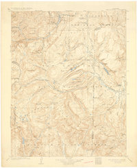
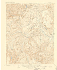
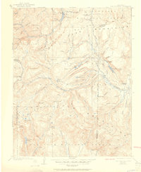
Editions of this 1907 San Cristobal Map
5 editions found
Other maps of this area

1897 · Silverton
USGS Topo · 1:62,500

1900 · Needle Mountains
USGS Topo · 1:62,500

1901 · Silverton
USGS Topo · 1:62,500

1902 · Needle Mountains
USGS Topo · 1:62,500

1902 · Silverton
USGS Topo · 1:62,500

1902 · Ouray
USGS Topo · 1:62,500

1903 · Lake City
USGS Topo · 1:62,500

1904 · Ouray
USGS Topo · 1:62,500

1905 · Lake City
USGS Topo · 1:62,500

1905 · San Cristobal
USGS Topo · 1:125,000