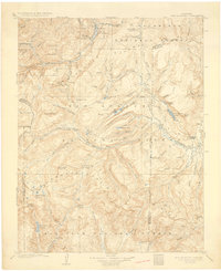
1907 Map of San Cristobal
USGS Topo · Published 1930About this map
Lake San Cristobal sits at the heart of this high-altitude survey, representing the remote mining and ranching character of Hinsdale County during the early twentieth century. Small mining camps and mountain settlements like Whitecross, Sherman, and Carson are scattered throughout the difficult terrain, often located near the headwaters of vital drainages like Henson Creek and the Rio Grande. The topographical detail reveals the complex network of gulches and peaks that defined the local economy, including Redcloud Pk and Sunshine Pk.
Find a feature on this map
93 named features on this map. Tap any name to fly to it.
Don’t see what you’re looking for? This feature index may not catch every label — zoom into the map to look around manually.
Map Details
Editions of this 1907 San Cristobal Map
5 editions found

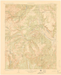
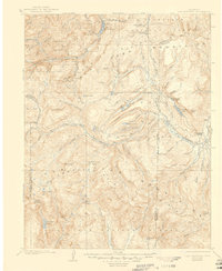
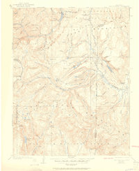
Other maps of this area

1897 · Silverton
USGS Topo · 1:62,500

1900 · Needle Mountains
USGS Topo · 1:62,500

1901 · Silverton
USGS Topo · 1:62,500

1902 · Needle Mountains
USGS Topo · 1:62,500

1902 · Silverton
USGS Topo · 1:62,500

1902 · Ouray
USGS Topo · 1:62,500

1903 · Lake City
USGS Topo · 1:62,500

1904 · Ouray
USGS Topo · 1:62,500

1905 · Lake City
USGS Topo · 1:62,500

1905 · San Cristobal
USGS Topo · 1:125,000