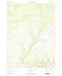
1970 Map of Overton
USGS Topo · Published 1979About this map
Little Loyalsock Creek winds through the southern reaches of this landscape, marking the transition from the high ridges of the Endless Mountains to the valley floors near Millview and Estella. The area is characterized by a network of upland settlements and family-named landmarks that speak to the region's rural heritage. Small rural communities like Campbellville and Overton are connected by a web of winding roads and a solitary Jeep Trail, illustrating the rugged, isolated nature of the terrain in the early 1970s.
Find a feature on this map
55 named features on this map. Tap any name to fly to it.
Don’t see what you’re looking for? This feature index may not catch every label — zoom into the map to look around manually.
Map Details
Editions of this 1970 Overton Map
2 editions found
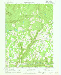
Other maps of this area

1927 · Eagles Mere
USGS Topo · 1:48,000

1932 · Eagle Mere
USGS Topo · 1:62,500

1934 · Laporte
USGS Topo · 1:62,500

1943 · Monroeton
USGS Topo · 1:62,500

1943 · Powell
USGS Topo · 1:62,500

1945 · Powell
USGS Topo · 1:62,500

1953 · LaPorte
USGS Topo · 1:62,500

1953 · Eagles Mere
USGS Topo · 1:62,500

1954 · Williamsport
USGS Topo · 1:250,000

1960 · Williamsport
USGS Topo · 1:250,000
Featured Places
- Overton Township, PA
- Millview, Forks Township
- Bethel, Elkland Township
- Forks Township, PA
- Elkland Township, PA