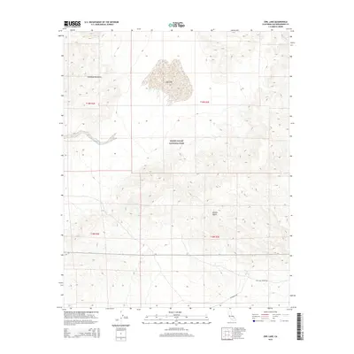
2015 Map of Owl Lake
USGS Topo · Published 2015About this map
Death Valley National Park and the surrounding Mojave Desert terrain dominate this 2015 topographic survey, centered on the stark basin of Owl Lake. The landscape is defined by the steep elevation changes of the Owlshead Mountains, which rise sharply from the dry lake bed. In the southern portion of the quadrangle, the presence of Owl Hole Springs provides a rare point of water in an otherwise arid environment. Human movement through this section of San Bernardino County is traced by few thoroughfares, primarily Randsburg Rd and Owl Hole Springs Rd, which skirt the lower reaches of the mountains. This map documents a largely protected wilderness area, showing the intersection of federal park land and the rugged natural features that have historically shaped travel and survival in this corner of the California desert.
Find a feature on this map
11 named features on this map. Tap any name to fly to it.
Don’t see what you’re looking for? This feature index may not catch every label — zoom into the map to look around manually.
Map Details
Editions of this 2015 Owl Lake Map
This is the sole edition of this map. No revisions or reprints were ever made.
Other maps of this area

1933 · Avawatz Mountains
USGS Topo · 1:250,000

1947 · Trona
USGS Topo · 1:250,000

1948 · Trona
USGS Topo · 1:250,000
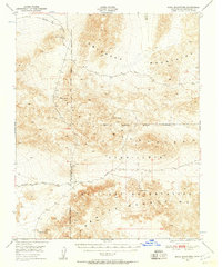
1948 · Quail Mountains
USGS Topo · 1:62,500
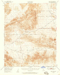
1948 · Leach Lake
USGS Topo · 1:62,500
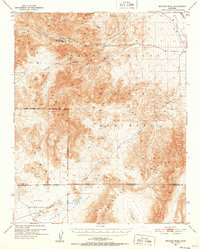
1950 · Wingate Wash
USGS Topo · 1:62,500
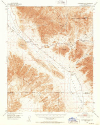
1950 · Confidence Hills
USGS Topo · 1:62,500
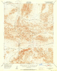
1951 · Quail Mountains
USGS Topo · 1:62,500
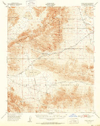
1951 · Leach Lake
USGS Topo · 1:62,500

1953 · Trona
USGS Topo · 1:250,000