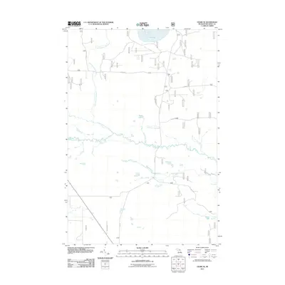
2011 Map of Ozark SE
USGS Topo · Published 2011About this map
Carp River and its North Branch Carp River define the hydrology of this Upper Peninsula landscape, winding through Brevort Township just north of Lake Michigan. The 2011 survey reveals an intricate network of forest service roads and drainage systems, where small water bodies like Spring Lake and Paquin Lake anchor the low-lying terrain. The map's detail is particularly evident in the naming of subtle watercourses such as Upper Farm Hill Creek and Lower Farm Hill Creek, which feed into the primary river system. Local infrastructure is concentrated along corridors like E Lake Rd and Kenneth Rd, providing access to the numerous wetlands and the expansive Beaver Pond. This document serves as a high-resolution view of the area's natural drainage patterns and the established trail and road network used for forest management and local transit.
Find a feature on this map
19 named features on this map. Tap any name to fly to it.
Don’t see what you’re looking for? This feature index may not catch every label — zoom into the map to look around manually.
Map Details
Editions of this 2011 Ozark SE Map
This is the sole edition of this map. No revisions or reprints were ever made.
Other maps of this area

1931 · St Ignace NW
USGS Topo · 1:31,680

1931 · Moran NE
USGS Topo · 1:31,680

1931 · Ozark SE
USGS Topo · 1:31,680

1948 · Moran NE
USGS Topo · 1:31,680

1948 · Moran NW
USGS Topo · 1:31,680

1953 · Fibre
USGS Topo · 1:24,000

1954 · Sault Sainte Marie
USGS Topo · 1:250,000

1955 · Cheboygan
USGS Topo · 1:250,000

1956 · Sault Sainte Marie
USGS Topo · 1:250,000

1957 · Sault Sainte Marie
USGS Topo · 1:250,000