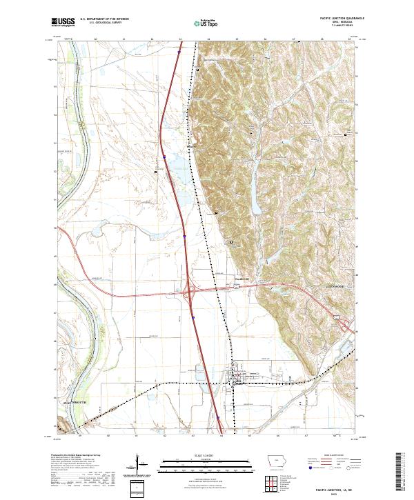
2022 Map of Pacific Junction
USGS Topo · Published 2022About this map
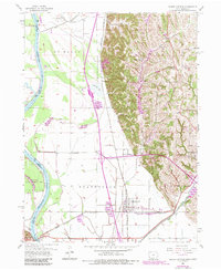
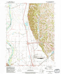
The Missouri River floodplain and its transition into the bluff-side topography of Mills County define this landscape. The infrastructure of the region is anchored by Pacific Junction, a historic railroad-oriented settlement that sits at the nexus of local drainage improvements like Eaton Ditch and Pony Cr Ditch. This geography highlights the persistent management of the river bottom, where smaller communities like Folsom and Pacific City are situated near seasonal water bodies such as Folsom Lake.
Find a feature on this map
90 named features on this map. Tap any name to fly to it.
Don’t see what you’re looking for? This feature index may not catch every label — zoom into the map to look around manually.
Map Details
Editions of this 2022 Pacific Junction Map
This is the sole edition of this map. No revisions or reprints were ever made.
Historical Maps of Pacific City Through Time
3 maps found