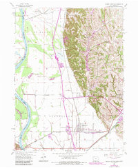
1956 Map of Pacific Junction
USGS Topo · Published 1984About this map
Pacific Junction serves as a critical rail nexus in this mid-century portrait of western Mills County, where the Burlington Northern and Burlington lines converge. The landscape is sharply defined by the transition from the broad, flat bottomlands of the Missouri River to the abrupt loess bluffs near Glenwood. Engineering of the floodplain is evident through the extensive St Marys Ditch and numerous levees protecting agricultural tracts like Plattville.
Find a feature on this map
35 named features on this map. Tap any name to fly to it.
Don’t see what you’re looking for? This feature index may not catch every label — zoom into the map to look around manually.
Map Details
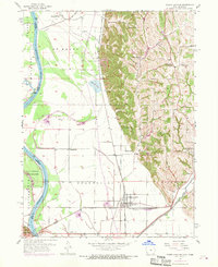
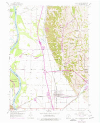
Editions of this 1956 Pacific Junction Map
4 editions found
Other maps of this area

1935 · Nehawka
USGS Topo · 1:48,000

1940 · Nehawka
USGS Topo · 1:62,500

1954 · Omaha
USGS Topo · 1:250,000

1955 · Nebraska City
USGS Topo · 1:250,000

1956 · Glenwood
USGS Topo · 1:24,000

1956 · Mineola
USGS Topo · 1:24,000

1956 · Murray
USGS Topo · 1:24,000

1956 · Rock Bluff
USGS Topo · 1:24,000

1956 · Plattsmouth
USGS Topo · 1:24,000

1956 · Pacific Junction
USGS Topo · 1:24,000