
1956 Map of Murray
USGS Topo · Published 1957About this map
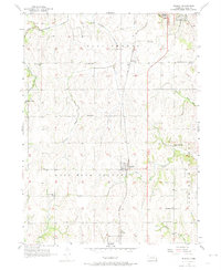
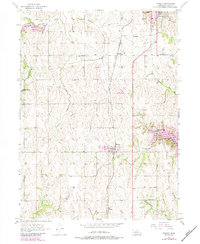
The agricultural landscape of Cass County is defined by the winding paths of Eightmile Creek and Fourmile Creek as they drain toward the Missouri River just beyond the eastern bluffs. In the mid-1950s, the village of Murray serves as a central hub, surrounded by a dense network of country schools that speak to the era's rural community structure. This educational geography includes Little Brick Sch, Ameck Sch, and the Eightmile Grove Sch to the west.
Find a feature on this map
32 named features on this map. Tap any name to fly to it.
Don’t see what you’re looking for? This feature index may not catch every label — zoom into the map to look around manually.
Map Details
Editions of this 1956 Murray Map
3 editions found
Other maps of this area

1893 · Fremont
USGS Topo · 1:125,000

1896 · Fremont
USGS Topo · 1:125,000

1903 · Weeping Water
USGS Topo · 1:125,000

1929 · Weeping Water
USGS Topo · 1:125,000

1935 · Nehawka
USGS Topo · 1:48,000

1940 · Nehawka
USGS Topo · 1:62,500

1954 · Omaha
USGS Topo · 1:250,000

1955 · Fremont
USGS Topo · 1:250,000

1955 · Nebraska City
USGS Topo · 1:250,000

1955 · Lincoln
USGS Topo · 1:250,000