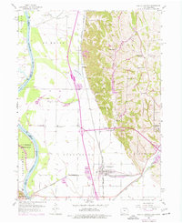
1956 Map of Pacific Junction
USGS Topo · Published 1977About this map
The Burlington Northern railroad corridors define the industrial character of this corner of Mills County, intersecting at the vital rail hub of Pacific Junction. This mid-century survey reveals the complex drainage and agricultural management of the Missouri River bottoms, where a massive levee system protects the townships of St Marys and Plattville from the shifting Missouri River. The landscape is etched with irrigation and drainage features like St Marys Ditch and the Northern Ditch, illustrating the intensive effort to reclaim and maintain these fertile lowlands for farming.
Find a feature on this map
44 named features on this map. Tap any name to fly to it.
Don’t see what you’re looking for? This feature index may not catch every label — zoom into the map to look around manually.
Map Details
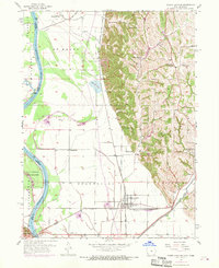
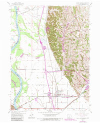
Editions of this 1956 Pacific Junction Map
4 editions found
Other maps of this area

1935 · Nehawka
USGS Topo · 1:48,000

1940 · Nehawka
USGS Topo · 1:62,500

1954 · Omaha
USGS Topo · 1:250,000

1955 · Nebraska City
USGS Topo · 1:250,000

1956 · Glenwood
USGS Topo · 1:24,000

1956 · Mineola
USGS Topo · 1:24,000

1956 · Murray
USGS Topo · 1:24,000

1956 · Rock Bluff
USGS Topo · 1:24,000

1956 · Plattsmouth
USGS Topo · 1:24,000

1956 · Pacific Junction
USGS Topo · 1:24,000