
1956 Map of Pacific Junction
USGS Topo · Published 1958About this map
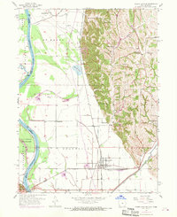
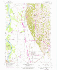
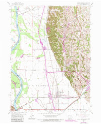
Pacific Junction serves as a critical rail intersection in the mid-1950s, where the Chicago Burlington and Quincy railroad lines meet amidst the floodplains of the Missouri River. This survey captures a dense network of rural infrastructure, including a series of numbered schools like Gowen Sch No 1, Gowen Sch No 2, and Gowen Sch No 3, which reflect the organized township system of Plattville and Glenwood. Along the eastern bluffs, the terrain shifts abruptly from the flat river bottom to the loess hills, where settlements like Pacific City and Folsom are situated. Notable family and community landmarks such as Wait Cem, Godsey Cem, and the Martin Chapel Cem are clearly marked, providing essential data for genealogical research in Mills County. The presence of a Toll Bridge and an extensive Levee system underscores the ongoing efforts to manage the river's influence on local commerce and travel.
Find a feature on this map
43 named features on this map. Tap any name to fly to it.
Don’t see what you’re looking for? This feature index may not catch every label — zoom into the map to look around manually.
Map Details
Editions of this 1956 Pacific Junction Map
4 editions found
Other maps of this area

1935 · Nehawka
USGS Topo · 1:48,000

1940 · Nehawka
USGS Topo · 1:62,500

1954 · Omaha
USGS Topo · 1:250,000

1955 · Nebraska City
USGS Topo · 1:250,000

1956 · Glenwood
USGS Topo · 1:24,000

1956 · Mineola
USGS Topo · 1:24,000

1956 · Murray
USGS Topo · 1:24,000

1956 · Rock Bluff
USGS Topo · 1:24,000

1956 · Plattsmouth
USGS Topo · 1:24,000

1956 · Council Bluffs South
USGS Topo · 1:24,000