
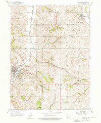
1956 Map of Glenwood
USGS Topo · Published 1957About this map
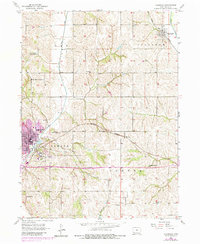
Glenwood serves as the focal point of this mid-century Mills County landscape, positioned near the junction of the Chicago Burlington and Quincy and Wabash railroads. The town's layout is defined by the State School and the waters of Glenwood Lake, while the surrounding townships of Ingraham, Center, and Oak reveal a dense network of rural infrastructure. The map is particularly notable for its high concentration of country schoolhouses, preserving the locations of many local landmarks like West Liberty Sch No 2, Reasonor Sch, and Goheen Sch. Drainage follows the winding paths of Keg Creek and Silver Creek as they cut through the loess hills of western Iowa. To the east, smaller rail stops and settlements like Silver City, Balfour, and Hillsdale appear alongside their respective community centers, such as Hillsdale Cem and Pleasant Hill Sch.
Find a feature on this map
28 named features on this map. Tap any name to fly to it.
Don’t see what you’re looking for? This feature index may not catch every label — zoom into the map to look around manually.
Map Details
Editions of this 1956 Glenwood Map
3 editions found
Other maps of this area

1935 · Nehawka
USGS Topo · 1:48,000

1940 · Nehawka
USGS Topo · 1:62,500

1954 · Omaha
USGS Topo · 1:250,000

1955 · Nebraska City
USGS Topo · 1:250,000

1956 · Mineola
USGS Topo · 1:24,000

1956 · Rock Bluff
USGS Topo · 1:24,000

1956 · Pacific Junction
USGS Topo · 1:24,000

1956 · Treynor
USGS Topo · 1:24,000

1956 · Council Bluffs South
USGS Topo · 1:24,000

1956 · Malvern
USGS Topo · 1:24,000