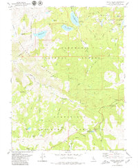
1979 Map of Pacific Valley
USGS Topo · Published 1979About this map
High Sierra watersheds converge in this alpine landscape where the Mokelumne Wilderness meets three separate national forests. The terrain is defined by glacial basins and granite peaks, holding dozens of high-altitude water bodies like Lower Blue Lake, Wheeler Lake, and the cluster of Blue Lakes. While the area is largely roadless, human presence is marked by primitive camps and specialized landmarks, such as the Stevenot Camp (Site) and a lonely Grave in the north.
Find a feature on this map
61 named features on this map. Tap any name to fly to it.
Don’t see what you’re looking for? This feature index may not catch every label — zoom into the map to look around manually.
Map Details
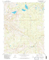
Editions of this 1979 Pacific Valley Map
2 editions found
Other maps of this area

1889 · Pyramid Peak
USGS Topo · 1:125,000

1889 · Markleeville
USGS Topo · 1:125,000

1891 · Markleeville
USGS Topo · 1:125,000

1891 · Big Trees
USGS Topo · 1:125,000

1891 · Pyramid Peak
USGS Topo · 1:125,000

1893 · Markleeville
USGS Topo · 1:125,000

1894 · Big Trees
USGS Topo · 1:125,000

1895 · Pyramid Peak
USGS Topo · 1:125,000

1896 · Dardanelles
USGS Topo · 1:125,000

1896 · Pyramid Peak
USGS Topo · 1:125,000