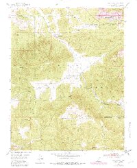
1950 Map of Page Ranch
USGS Topo · Published 1979About this map
The Old Irontown (Historic Site) stands as a focal point of early industrial history in the high country of the Dixie National Forest. This survey, based on 1948 aerial photography with 1970s updates, documents the transition from early pioneer iron works to large-scale modern extraction, visible at the Columbia Steel Mine and Blowout Pit on Iron Mountain. The landscape is a network of mid-century cattle operations and water sources, including Page Ranch, Grants Ranch, and the high-altitude The Dairy.
Find a feature on this map
35 named features on this map. Tap any name to fly to it.
Don’t see what you’re looking for? This feature index may not catch every label — zoom into the map to look around manually.
Map Details
Editions of this 1950 Page Ranch Map
This is the sole edition of this map. No revisions or reprints were ever made.
Other maps of this area
1885 · St. George
USGS Topo · 1:250,000
1891 · St. George
USGS Topo · 1:250,000
1950 · Iron Mountain
USGS Topo · 1:62,500
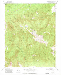
1950 · Stoddard Mtn
USGS Topo · 1:24,000
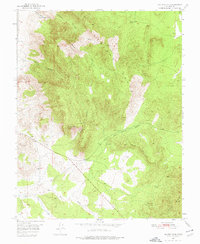
1950 · Silver Peak
USGS Topo · 1:24,000
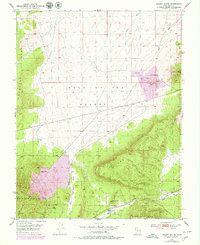
1950 · Desert Mound
USGS Topo · 1:24,000
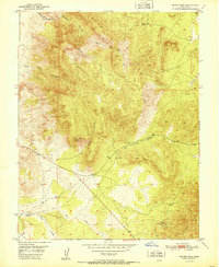
1951 · Silver Peak
USGS Topo · 1:24,000
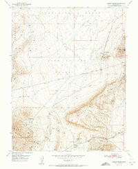
1951 · Desert Mound
USGS Topo · 1:24,000
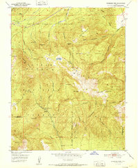
1951 · Stoddard Mtn
USGS Topo · 1:24,000
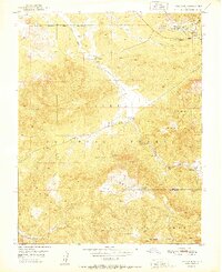
1951 · Page Ranch
USGS Topo · 1:24,000