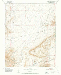
1951 Map of Desert Mound
USGS Topo · Published 1951About this map
Iron mining and ranching define this high-desert landscape in the mid-century, where the industrial infrastructure of the Union Pacific railroad reaches into the mineral-rich hills. The focal point of the area is the prominent Open Pit Iron Mine and its associated Mine Dump near the small settlement of Desert Mound. To the southwest, the Homestake Mine is noted as inactive by 1951, marking a shift in the local extraction economy.
Find a feature on this map
26 named features on this map. Tap any name to fly to it.
Don’t see what you’re looking for? This feature index may not catch every label — zoom into the map to look around manually.
Map Details
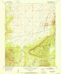
Editions of this 1951 Desert Mound Map
2 editions found
Other maps of this area

1885 · St. George
USGS Topo · 1:250,000

1891 · St. George
USGS Topo · 1:250,000

1949 · Cedar City NW
USGS Topo · 1:24,000

1950 · Cedar City NW
USGS Topo · 1:24,000

1950 · Kanarraville
USGS Topo · 1:24,000

1950 · Antelope Peak
USGS Topo · 1:24,000

1950 · Enoch
USGS Topo · 1:62,500

1950 · Iron Mountain
USGS Topo · 1:62,500

1950 · Cedar City
USGS Topo · 1:62,500

1950 · The Three Peaks
USGS Topo · 1:24,000