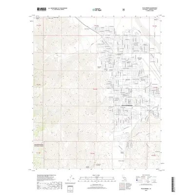
2018 Map of Palm Springs
USGS Topo · Published 2018About this map
The city of Palm Springs serves as the focal point for this survey of the western Coachella Valley, where the urban grid meets the dramatic rise of the San Jacinto Mountains. To the east, the Palm Springs International Airport dominates the flatlands, while the western reaches transition into the protected slopes of the San Bernardino National Forest. Local heritage is anchored by sites like Agua Caliente Spring and several burial grounds, including the Jane Augustine Patencio Cem and Murray Cem.
Find a feature on this map
121 named features on this map. Tap any name to fly to it.
Don’t see what you’re looking for? This feature index may not catch every label — zoom into the map to look around manually.
Map Details
Editions of this 2018 Palm Springs Map
This is the sole edition of this map. No revisions or reprints were ever made.
Other maps of this area

1901 · Southern California Sheet No. 1
USGS Topo · 1:250,000

1901 · San Jacinto
USGS Topo · 1:125,000

1904 · Indio
USGS Topo · 1:125,000

1904 · Southern California Sheet No. 1
USGS Topo · 1:250,000

1940 · Palm Springs
USGS Topo · 1:62,500

1940 · Hemet Reservoir
USGS Topo · 1:62,500

1941 · Toro Peak
USGS Topo · 1:62,500

1941 · Edom
USGS Topo · 1:62,500

1942 · Hemet Reservoir
USGS Topo · 1:62,500

1944 · Toro peak
USGS Topo · 1:62,500