Loading...
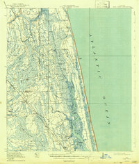
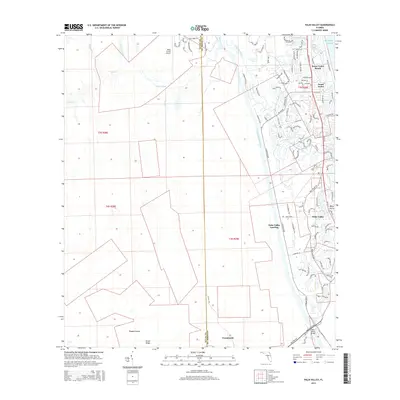
Loading map...1952 Map of Palm Valley
USGS Topo · Published 1964About this map
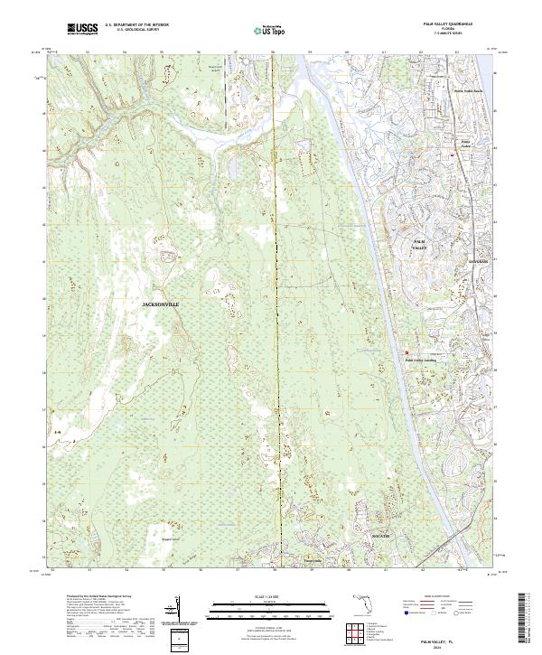
The Intracoastal Waterway carves a straight northern path through this coastal Florida landscape, separating the developing Ponte Vedra Beach from the dense wetlands of the interior. In the early 1950s, the area retains a heavy emphasis on its natural drainage systems, with Cabbage Swamp and Durbin Swamp dominating the low-lying terrain. The settlement of Palm Valley and the nearby Palm Valley Landing serve as local hubs along the water, connected to the coast by the Palm Valley Bridge.
Find a feature on this map
23 named features on this map. Tap any name to fly to it.
Don’t see what you’re looking for? This feature index may not catch every label — zoom into the map to look around manually.
Map Details
Date Portrayed1952
Date Published1964
PublisherU.S. Geological Survey
Map TypeTopographic
Scale1:24,000
Physical Dimensions23.1 x 27.1 inches
Editions of this 1952 Palm Valley Map
2 editions found
Historical Maps of Jacksonville Through Time
8 maps found
Featured Locations
Source Details
SourceU.S. Geological Survey
CopyrightPublic Domain