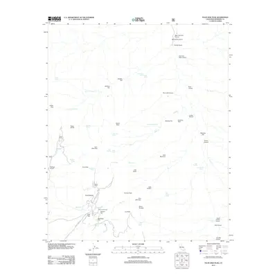
2012 Map of Palm View Peak
USGS Topo · Published 2012About this map
Palm View Peak and the high ridges of the San Jacinto Mountains define this 2012 survey, where the landscape is marked by remote springs and established ranching outposts. Fobes Ranch and Morris Ranch sit tucked into the canyons and saddles, connected by Morris Ranch Rd and smaller forest routes. The area is a labyrinth of desert peaks and hidden flats, featuring colorfully named landmarks like Hells Kitchen, Devils Rockpile, and Needles Eye.
Find a feature on this map
63 named features on this map. Tap any name to fly to it.
Don’t see what you’re looking for? This feature index may not catch every label — zoom into the map to look around manually.
Map Details
Editions of this 2012 Palm View Peak Map
This is the sole edition of this map. No revisions or reprints were ever made.
Other maps of this area

1901 · Southern California Sheet No. 1
USGS Topo · 1:250,000

1901 · San Jacinto
USGS Topo · 1:125,000

1904 · Indio
USGS Topo · 1:125,000

1904 · Southern California Sheet No. 1
USGS Topo · 1:250,000

1940 · Palm Springs
USGS Topo · 1:62,500

1940 · Hemet Reservoir
USGS Topo · 1:62,500

1941 · Toro Peak
USGS Topo · 1:62,500

1941 · Edom
USGS Topo · 1:62,500

1942 · Hemet Reservoir
USGS Topo · 1:62,500

1944 · Toro peak
USGS Topo · 1:62,500